RouteSavvy User Guide – 4.2 – Print/Export Route
After Optimizing or Getting Directions, the selected route can be printed or exported as plain text, PDF, GPX Route, GPX Waypoints, or CSV formatted files along with printable turn by turn directions. If you are interested in using the route on a mobile phone or tablet, see the next section.
The Print button opens the Print Option dialog and Next button will send the selected route to your a selected printer.
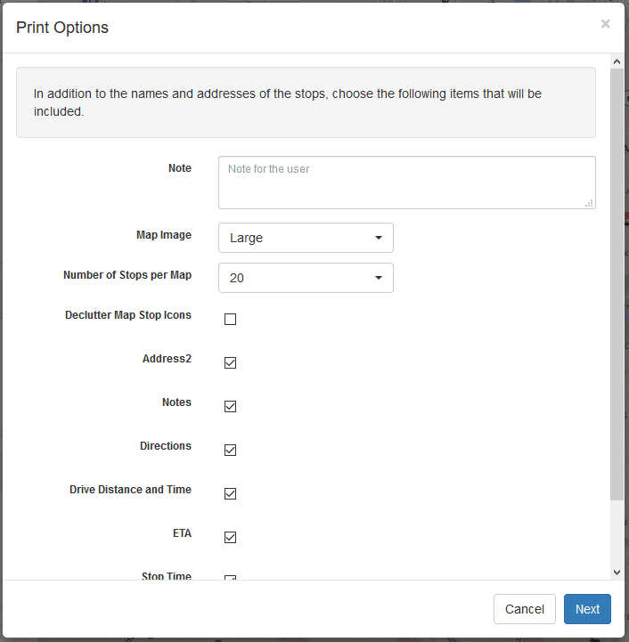
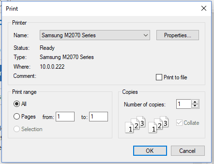
Export button provides several export file options: Text, PDF, Route GPX, Waypoint GPX, and CSV. When you select the Export button, the export options dialog will display.
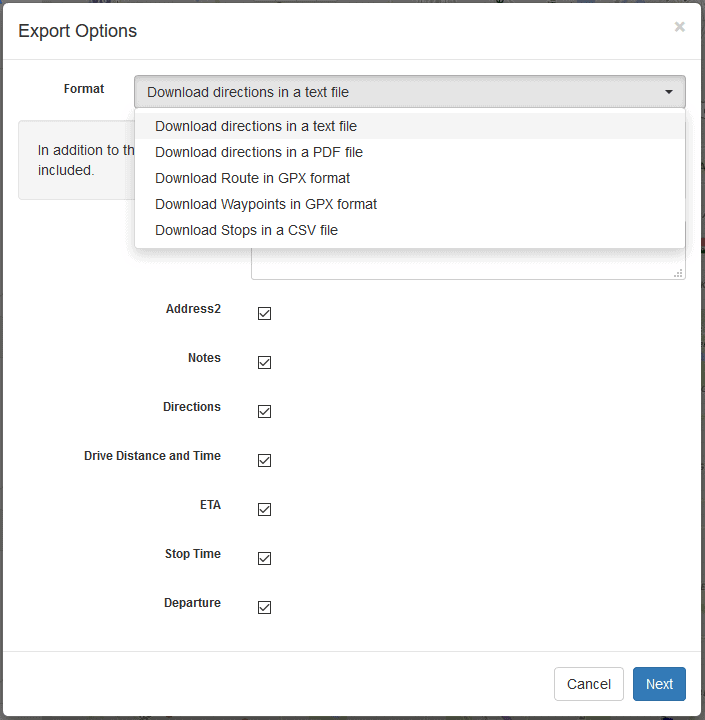
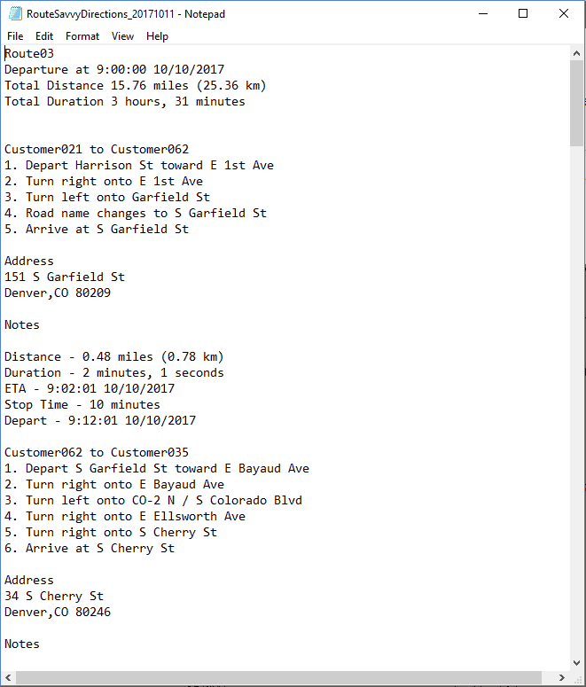
“Download directions in a text file” produces a plain text file of the selected route.
“Download directions in a PDF file” saves a PDF file of the route.
“Download Route in GPX format” saves a .gpx file containing the elements used by many navigation devices for importing routes. This can be useful for distribution to drivers for offline routing while in a vehicle.
“Download Waypoints in GPX format” saves waypoints as a .gpx file. Waypoint GPX files are often used by navigation devices for importing location waypoints. This can be useful for distribution to drivers for offline routing while in a vehicle. The Waypoint GPX format is generally recommended over the Route GPX format, because the waypoint format allows your GPS device to use live traffic information to follow the optimized order.
“Download Stops in a CSV file” saves a CSV formatted file. CSV format can be read as a spreadsheet in Excel, and is also commonly used to import and export data between many different software suites.
Both print and export options dialogs have various options depending on the format to customize the output.
Note field – Allows you to include a custom note with your route. This might be driver name, day of the week, etc.
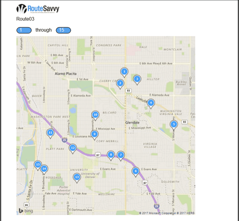
Map Image – For print and PDF export, Map Image is the size of the static map you want to include.
Number of Stops Per Map – For print and PDF export, this allows you to customize the number of stops on each static map. e.g. if you have 30 stops in a route, you could have RouteSavvy split into 3 separate maps for each review.
Declutter Map Stop Icons – For print and PDF export, allows the static map icons to be more clearly seen on the map. Useful if there are high density stops.
Checkboxes for individual route and stop fields – Allows you to choose which fields will be printed or exported. Varies by format.
Trial Account Limits – Trial accounts are limited to 3 stops on all print and exports. This limit does not exist on paid customer accounts.
If you have questions contact RouteSavvy Support.
